Introduction
In the 21st century, data has become humanity’s most valuable resource — and one of the richest sources of that data lies beyond our planet. From fleets of satellites orbiting Earth to deep-space observatories scanning the cosmos, space-based systems continuously gather massive amounts of information about our planet and universe.
This revolution in data and analytics from space is reshaping industries, informing governments, driving sustainability, and even saving lives. Whether it’s predicting hurricanes, optimizing agriculture, tracking deforestation, or enabling global communications, the insights gathered from space are transforming how we understand and manage the world.
Age of Space-Based Data
Over the past few decades, the ability to collect and analyze data from space has advanced dramatically. In the 1960s, satellites could only capture basic weather images. Today, modern satellites use high-resolution sensors, radar imaging, infrared scanning, and AI-powered analytics to provide near real-time data on almost every aspect of Earth’s systems — from urban growth to ocean temperatures.
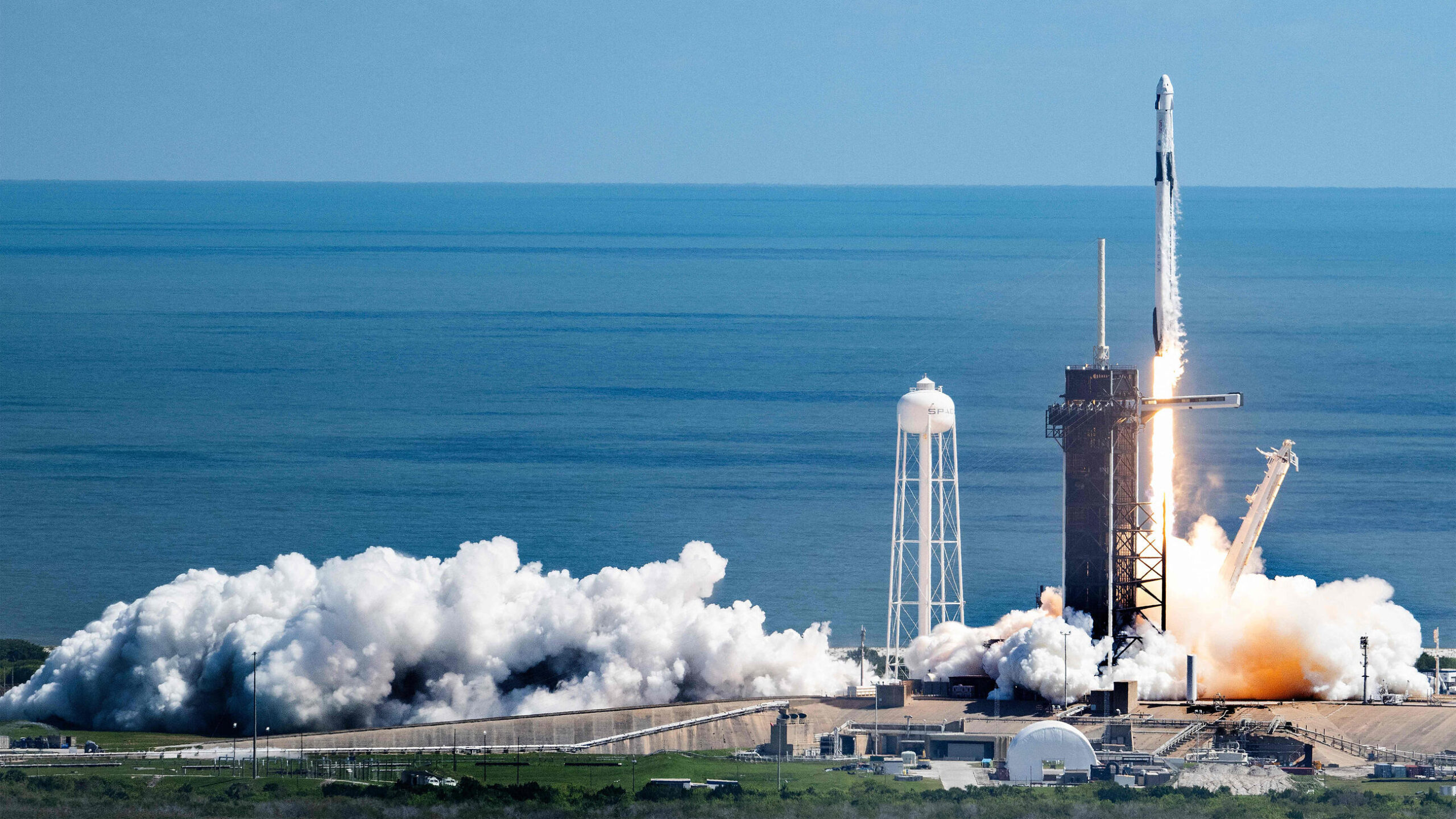
As of 2025, there are over 10,000 active satellites in orbit, with thousands more planned for deployment. This massive network forms the foundation of the space data economy, generating petabytes of information daily.
The data collected from these satellites feeds into a global ecosystem of analytics, modeling, and decision-making — powering industries ranging from agriculture to finance, and playing a vital role in climate monitoring and national security.
Types of Space-Derived Data
The diversity of data collected from space is vast. It can generally be categorized into several key types:
Earth Observation (EO) Data
EO satellites monitor the planet’s surface and atmosphere using various sensors. They capture data on:
- Land use and vegetation cover
- Ocean color, temperature, and currents
- Ice sheets and polar regions
- Air pollution and greenhouse gases
- Urban expansion and infrastructure
Examples include the Copernicus Sentinel satellites (ESA) and NASA’s Landsat program, which provide open-access data for scientists and businesses worldwide.
Remote Sensing and Radar Data
Synthetic Aperture Radar (SAR) satellites — such as RADARSAT, ICEYE, and Capella Space — use radar to observe Earth regardless of weather or lighting conditions. SAR data is particularly valuable for:
- Monitoring deforestation and illegal mining
- Detecting oil spills
- Tracking ship movements and border activity
- Assessing natural disaster damage
Navigation and Positioning Data
Global Navigation Satellite Systems (GNSS), including GPS (U.S.), Galileo (EU), and BeiDou (China), provide precise positioning and timing data. These systems are essential for transportation, logistics, agriculture, and financial transactions.
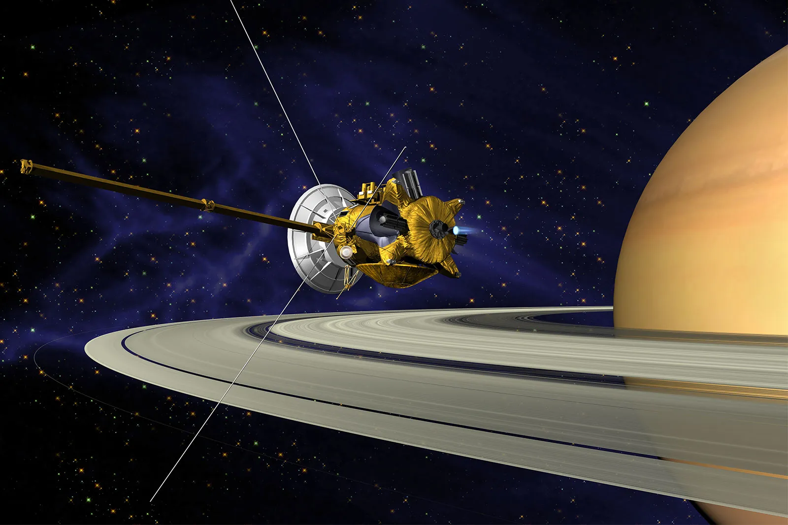
Astronomical and Deep Space Data
Beyond Earth, observatories like Hubble, James Webb Space Telescope, and Euclid gather astronomical data, helping scientists explore dark matter, exoplanets, and cosmic origins. While less commercially focused, this data contributes to broader scientific and technological innovation.
How Data from Space Is Collected and Processed
Sensors and Payloads
Satellites are equipped with sensors that capture data in multiple spectral bands — visible, infrared, microwave, and radar. The type of sensor determines what kind of data is collected (e.g., vegetation health, sea surface temperature, or cloud formation).
Data Transmission
The collected data is transmitted back to Earth via radio frequency links to ground stations, then processed through secure communication networks. Some constellations use inter-satellite laser communication, allowing faster and more reliable data transfer.
Processing and Analysis
Once received, raw satellite data undergoes calibration, correction, and enhancement to remove noise and distortions. Then, advanced analytics — including machine learning (ML) and artificial intelligence (AI) — are applied to identify patterns, detect changes, and generate actionable insights.
Integration and Distribution
The processed information is integrated into platforms such as Google Earth Engine, Esri ArcGIS, and Amazon Web Services (AWS) Earth, where researchers and businesses can access and analyze it.
Applications of Space-Based Data and Analytics
The potential uses of data from space are almost limitless. Here are some of the most impactful fields benefiting from orbital insights:
Agriculture and Food Security
Satellite data helps farmers monitor crop health, soil moisture, and pest activity. Using NDVI (Normalized Difference Vegetation Index) imagery, they can optimize irrigation, reduce fertilizer waste, and boost yields.
Organizations like Planet Labs and Descartes Labs provide real-time agricultural analytics that help governments and companies improve food production and resilience.
Environmental Monitoring and Climate Change
Space-based sensors track deforestation, glacier melting, ocean acidification, and greenhouse gas concentrations. NASA’s OCO-2 satellite, for instance, measures carbon dioxide distribution globally.
This data informs climate models, supports carbon offset verification, and guides environmental policy.
Urban Planning and Infrastructure
High-resolution satellite imagery enables city planners to monitor population growth, traffic congestion, and infrastructure development. Smart cities integrate this data for disaster preparedness, construction management, and sustainable urban expansion.
Disaster Management
When natural disasters strike — such as floods, wildfires, or earthquakes — satellites provide rapid situational awareness. Data from Copernicus Emergency Management Service or NASA’s MODIS helps governments and NGOs coordinate relief efforts efficiently.
Finance and Insurance
The financial sector increasingly uses space data for geospatial intelligence. For example:
- Tracking factory activity through nighttime light emissions
- Estimating oil reserves by analyzing shadow lengths of storage tanks
- Assessing crop insurance claims via satellite verification
This information allows investors to make better decisions and insurers to manage risk more accurately.
⚔️ 6. Defense and Security
Space-based analytics play a critical role in surveillance, border control, and maritime domain awareness. Real-time monitoring helps track illegal fishing, smuggling routes, and unauthorized military activity.
Connectivity and Telecommunications
Low-Earth orbit (LEO) satellite constellations, such as Starlink and OneWeb, generate massive data streams that not only connect the world but also analyze bandwidth usage, weather interference, and communication patterns to optimize global networks.
Role of Artificial Intelligence in Space Data
AI and machine learning are revolutionizing how space data is processed and utilized. These technologies can:
- Detect patterns across terabytes of imagery data.
- Identify deforestation or infrastructure changes automatically.
- Predict environmental events such as droughts or floods.
- Optimize satellite operations and collision avoidance.
For instance, ESA’s Φ-sat mission uses AI onboard the satellite itself to filter irrelevant images (like those obscured by clouds), reducing data transmission needs and speeding up analysis.
Economic and Strategic Impact
The space data analytics market is valued at over $20 billion in 2025, projected to exceed $100 billion by 2035. Governments, research institutions, and private firms are investing heavily in infrastructure to collect, process, and monetize orbital data.
For developing countries, access to satellite analytics supports economic growth, disaster resilience, and environmental protection. For corporations, it opens new revenue streams — from predictive analytics to precision logistics.
Strategically, nations that lead in space data capabilities also gain advantages in national security, innovation, and global influence.
Challenges in Space Data and Analytics
Despite its promise, this field faces several significant challenges:
Data Overload
With thousands of satellites producing vast data daily, managing, storing, and processing this information efficiently is a growing challenge.
Integration and Standardization
Different satellites and organizations use varying formats and protocols, making global data sharing difficult.
Privacy and Security
High-resolution imagery can raise privacy concerns. Regulations are needed to balance public benefit with ethical data usage.
💸 4. Access Inequality
Many developing nations lack the infrastructure to analyze or apply space data, creating a digital divide in space-enabled benefits.
Sustainability
As satellite constellations multiply, orbital congestion and debris threaten long-term sustainability — requiring responsible design and coordination.
Future of Space Data and Analytics
The future is a fusion of AI, cloud computing, and satellite innovation. Expect major advancements such as:
- Onboard processing: Satellites analyzing data before transmitting it, reducing bandwidth needs.
- Quantum communication: Secure, ultra-fast data transmission between orbit and Earth.
- Integrated digital twins: Real-time, 3D virtual models of the planet for simulation and planning.
- Edge computing in orbit: Bringing computation closer to data sources to enable faster decision-making.
Ultimately, these advances will allow humans to monitor, predict, and manage the Earth system with unprecedented precision — creating what some call a “digital planet.”
Conclusion
Data and analytics from space have become indispensable to modern civilization. From monitoring climate change and improving food production to managing cities and protecting nations, orbital insights are transforming the way we live and govern.
As technology evolves, the challenge will be ensuring that these powerful tools are used responsibly, sustainably, and inclusively. The future of data is not just in the clouds — it’s in the stars, orbiting above us, watching, learning, and helping humanity thrive.
The new frontier of knowledge is no longer confined to Earth — it is written across the cosmos, one satellite signal at a time.